Trail number
10 (also known as State MTB Course)
Trail length
6.4 kilometres
Elevation variance
80 metres
Trail type
Single trail
Trail surface
Smooth dirt, crushed rock, rocks ,rock outcrops and wooden boardwalks
Weather affected
Prone to be muddy after heavy rain
Trail condition sources
Parks Victoria Lysterfield website - Refer to change of conditions section.
Trail features
Berms, steep climbs, rocky sections, switchbacks, very fast open downhill sections
Trail obstacles
Bridges and rock gardens

Trail rating
Difficult
Rating basis
IMBA
Night riding
Yes
Family Friendly
No
Clicking on the image below will take you through to the Lysterfield District Trail Riders map. This is more up to date than the Parks Victoria map as it shows the new Follow Me trail and the new Aneurysm trail. The Commonwealth Games Trail is the light pink trail on the map below.

Click Image For Trail Map
No GPX download
The following photo gallery has been taken in order from the Hallam Road North Car Park. The trail is unidirectional (anticlockwise). Pick up the trail by heading north and off to the right into the bush adjacent to the dirrt track.
The ride has an initial forest section, followed by a slight climb and then a very steep climb to get to the top of the course. This height is used to provide a good speed run through the remaining part of the course which has various technical elements such as berms, boardwalk, rocks, fast downhill sections, etc. The trail starts and ends at the car park at the end of Hallam North Road.
 |
 |
 |
|---|---|---|
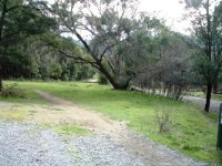
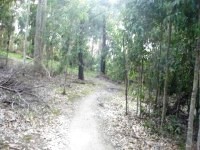
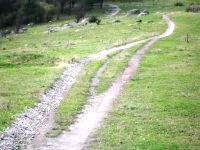
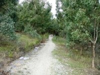
Heading north from start of trail. Follow markers to start of trail in forest to right of track. |
||
 |
 |
 |
|---|
 |
 |
 |
|---|---|---|
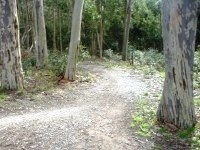
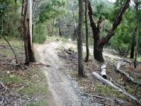
Sweet flowing trail through the forest section. |
||
 |
 |
 |
|---|
 |
 |
 |
|---|---|---|
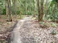
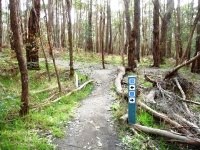
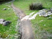
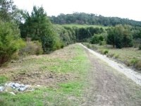
The trail comes out onto the main track for the main climb - gradual at first but becoming steeper as you get higher. |
||
 |
 |
 |
|---|
 |
 |
 |
|---|---|---|
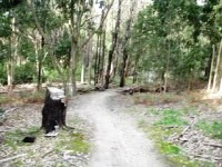
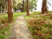
Coming into the flatter section near the trail summit. |
||
 |
 |
 |
|---|
 |
 |
 |
|---|---|---|
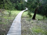
Fast flowing trails through rocks, berms, board walks, rock obstacles and high speed straight runs |
||
 |
 |
|
|---|---|---|
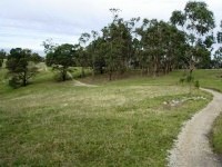
Coming in to end of trail. |
||
 |
Parking is available at Horswood Road and Hallam North Road entrances. 24 hour access and parking for MTBers is located just outside the Horswood Road entrance. |
|---|---|
 |
Toilet facilities are available at the Horswood Road picnic areas and Hallam North Road car park. |
 |
Drinking water is available at the Horswood Road picnic areas and Hallam North Road car park. |
 |
Food and drinks are available at the Trailmix cafe which is located near the Horswood Road picnic areas. |
 |
Trail information can be found adjacent to the Horswood Road gates (on northern side of road) and at Hallam North Road. |